Blog by Sesimani Loni, SMA Project Manager, Vava’u Ocean Initiative

Fisheries is one vital part of food security for all human being and here in Tonga most people rely on fisheries for daily consumptions and income however due to depletion of marine resources, especially from our coastal waters. The Ministry of Fisheries and Government of Tonga have established a program named “Special Management Area” (SMA), where the coastal management of near-shore fisheries resources is legally given to coastal communities. The program has been running for nearly 19 years now and has 53 communities engaged across Tonga.
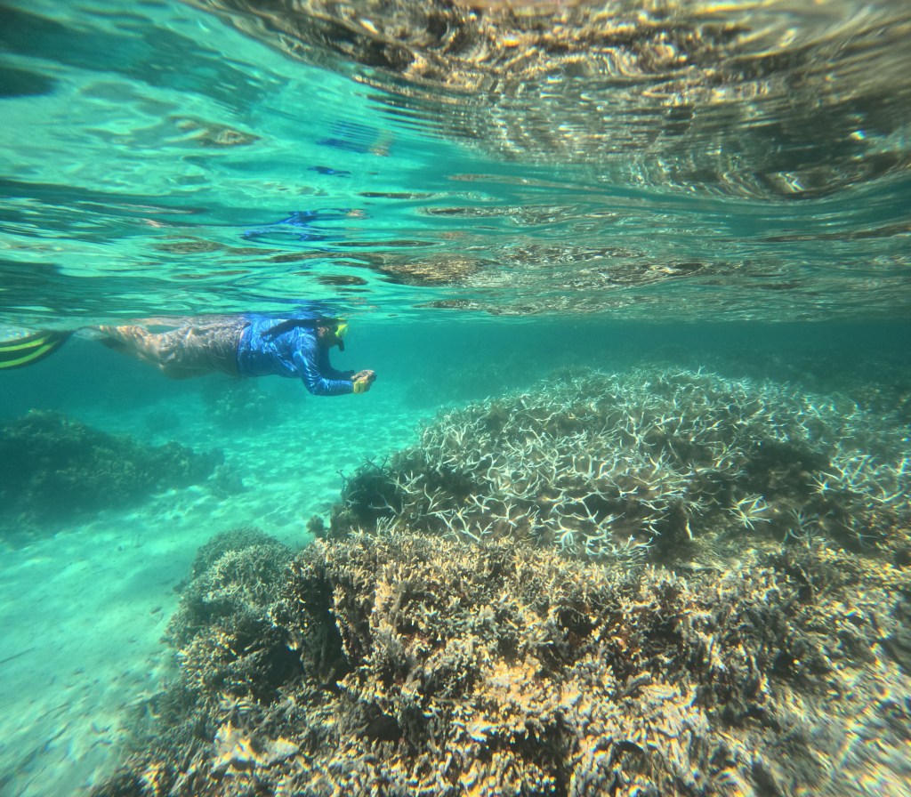
In the past few weeks, we have been out with some of the community people and Fisheries to fulfill our task of marking their SMA area. Prior to the opening of the sea cucumber harvesting, we’ve decided to mark two of our new SMAs which is Tefisi and Olo’ua and a few extra points at Taunga Island. This deployment has been aimed specifically to avoid stealing and illegal fishing from SMA.
We have been working together with the Ministry of Fisheries and the SMA communities especially new SMAs trying to deploy boundary markers to mark their SMA and FHR.
What is deployment?
Deployment is the process of making and deploying buoys to mark SMA boundaries in each community. This task is a must to fulfill to avoid ague between SMA communities’ people and neighbouring and non SMA communities.
Under the current Fisheries legislation, physical markers must be put in the water to identify the SMA area, VOI puts in 6 buoys per SMA to begin with as it tries to limit the potential impacts chains and ropes may have to other marine species such as whales and looks to identify other methods for marking the SMA area in the future.

Why do we conduct deployment?
- Illegal fishing within the SMA is an ongoing problem faced with most SMA communities. Due to opening of sea cucumber harvesting, it becomes the huge concern on all SMA communities especially SMA without boundary markers. It has seen during the opening of sea cucumber harvesting last year, it put a pressure upon our marine species especially varieties of sea cucumbers and on SMA communities too. Non SMA people tend to steal from SMA areas.
- Marking of boundaries also make clarification to both visitors and fishermen that the area is managed by the communities and are not allowed for fishing.

Fisheries officers monitor the deployment
Who is involved in the process of deployment?
- Deployment process involves the ministry of fisheries, Vava’u Ocean Initiative/VEPA and the SMA community. This is not a one-person responsibility; it is all related sectors responsibility to mark each SMA boundaries. It is the responsibility of the Ministry of Fisheries to provide technical support during deployment process. VEPA/VOI are responsible for importing and prepping deployment materials ready for deployment including splicing, chains cutting and making sure the buoys can be seen with reflective tape. Community are taking part on making the anchors from concrete, deploying of buoys and are responsible for patrolling and making sure that the deployed materials are not abused and damaged by fishers.
Is it important?
Yes, marking the boundaries plays an incredibly significant role in the management of a SMA. It is to mark their SMA boundaries, and this is one tool used to enforce SMA regulation for instance, coordination of the marking point is used inside court once an illegal act found done within the SMA or FHR.
This work is supported and implemented through the Vavau Ocean Initiative between Ministry of Fisheries, WAITT Institute and VEPA which has developed and implemented 6 new SMAs (one more pending) in Vava’u and provided ongoing support to 2 established SMAs.